Why the arrow is only half the story
Your screen shows a confident arrow and a shrinking distance. The ground tells a messier, more interesting truth.
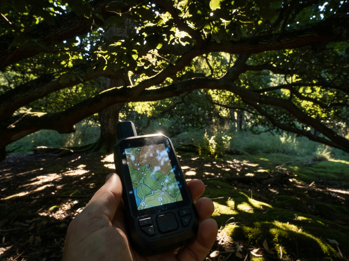
Satellite positioning works by measuring how long radio signals take to arrive from several satellites at once. Today’s receivers listen to more than one constellation: the American GPS, Europe’s Galileo, Russia’s GLONASS and China’s BeiDou. Using several systems improves the odds of a good fix, but it never removes error completely. Under open sky a phone or handheld unit is often accurate to within three to five metres. Under a dense, wet canopy, beside a cliff, or in a street lined with glass towers, signals bounce before they reach you, and that “multipath” effect can push the estimate ten metres or more off target.
Geocaching became possible because of a policy change. In May 2000 the United States switched off Selective Availability, the deliberate degradation of civilian GPS signals. Within days, Dave Ulmer placed a container near Beavercreek, Oregon, and posted its coordinates online. Everything since has rested on the same simple contract: the hider measured carefully, and the seeker reads carefully.