Reading a street like a field
Every city is layered. Discovery begins when you slow down enough to see the layers.
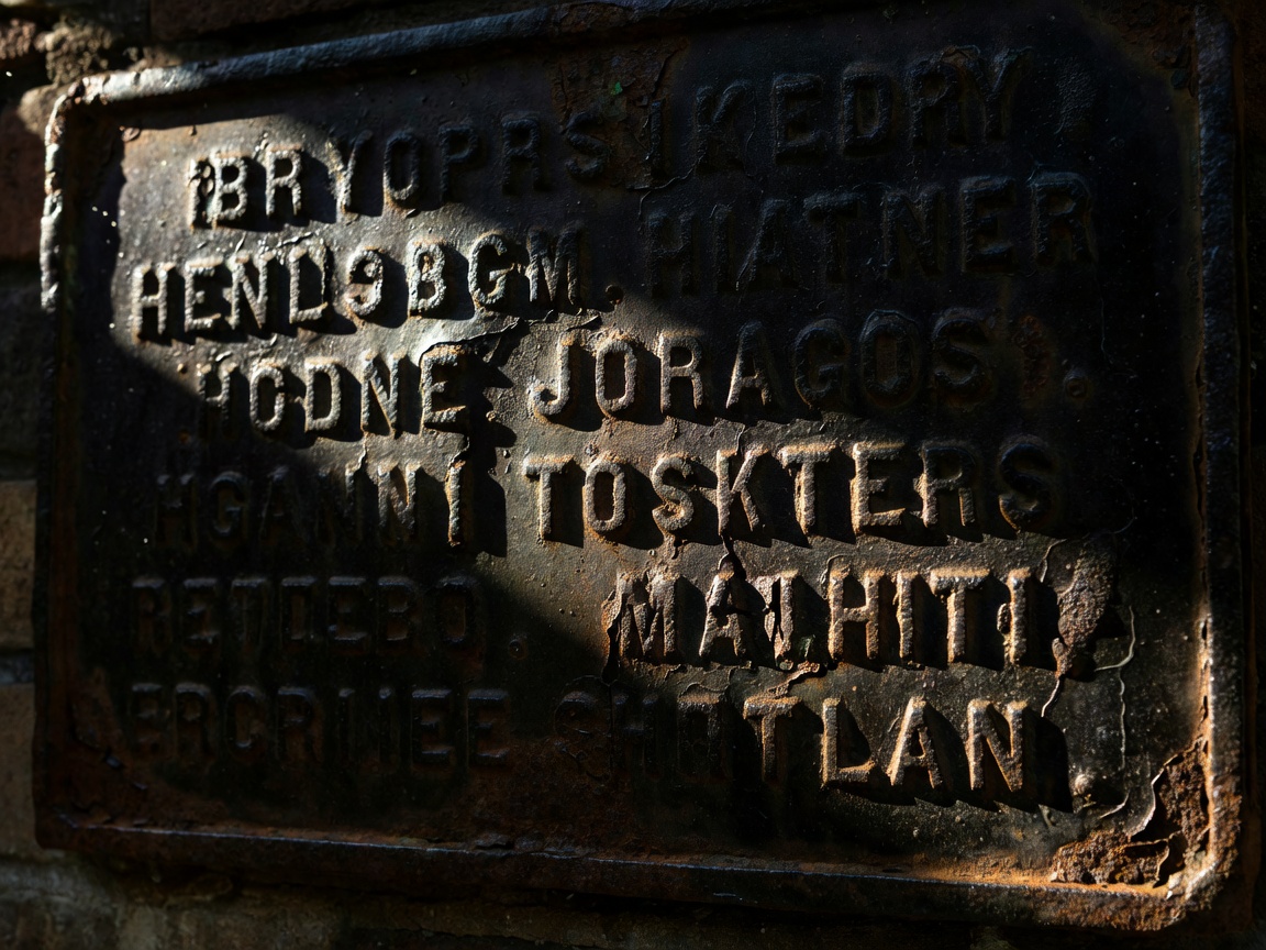
In the countryside, explorers read hedges, contours and streams. In town, the equivalent signals are datestones above doorways, boundary posts between old parishes, painted advertisements fading on gable ends and street names that recall lost trades. Many urban geocaches are placed precisely to show these details, and the listing is often a small local history lesson. Read it before you go, and you will understand why the hider chose that corner.
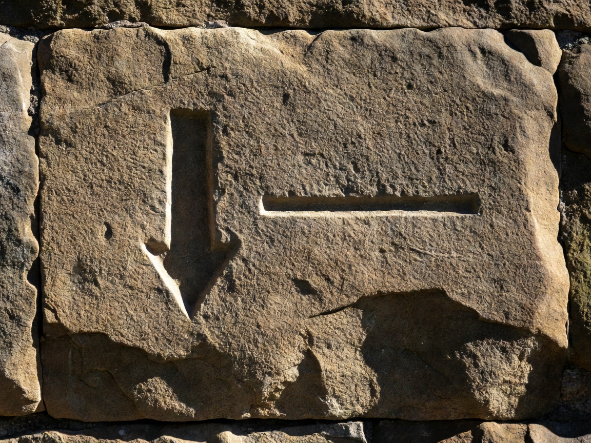
Some of the most rewarding urban targets are not containers at all. In Britain, Ordnance Survey cut thousands of benchmarks into walls and churches during the nineteenth and twentieth centuries: a horizontal line above an arrow, used for measuring height. In the United States, the National Geodetic Survey maintains records of brass survey discs, and benchmark hunting has its own following. Waymarking and Adventure Lab routes similarly guide you to points of interest without any physical container to maintain.